The construction of the model can be carried out through two different modalities, a geometric modeling or a manual modeling.
Geometric Model
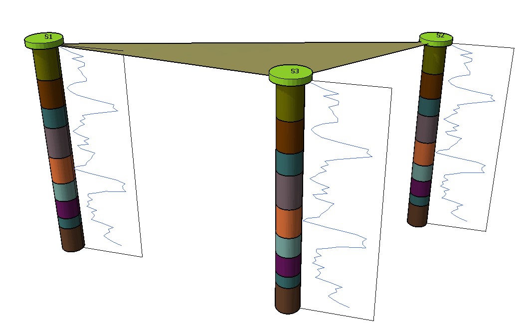
The creation of the geometric model presupposes that the layers present in the surveys are regular, that is in every survey the pattern in which the soil layers appear is always the same, which means that the different layers will be connected based on their position in the surveys.
The creation of a geometric model is fast and precise, and it is possible to carry out having at least three of the following elements: points and surveys, It is possible to create a geometric model having at least 2 topographic points and 1 survey, 2 surveys and 1 point, or 3 surveys.
Manual modelling
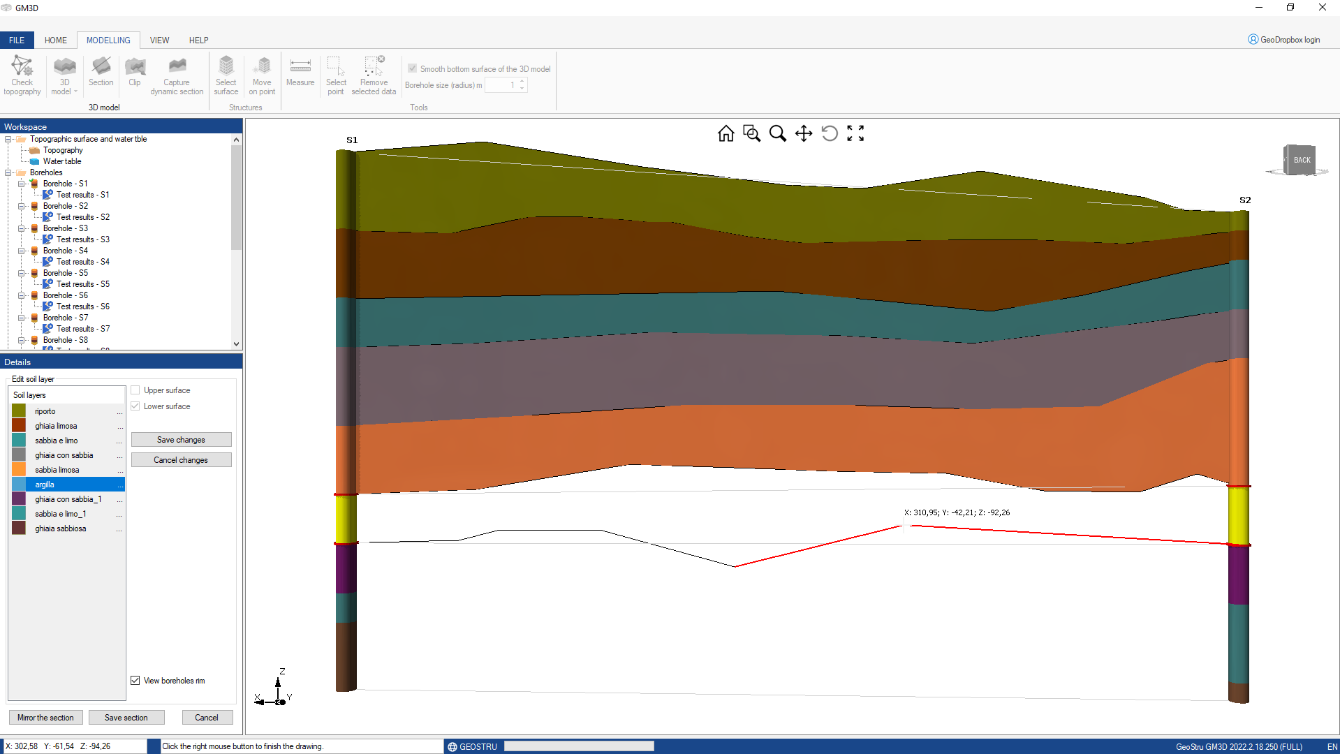
The manual modeling allows to recreate a 3D model of the underground for more complex stratigraphies, it is possible to recreate whichever 3d model.
The creation of the model requires the manual connection of the different layers from one survey to another, and in this case the accuracy of the model is dependent by the accuracy in the connecting of the surveys.
To create the connections it is sufficient selecting two surveys, and drawing the section between these two, therefore connecting the layers of one survey to another.
Once all the surveys are connected it will be possible to create the model
© GeoStru