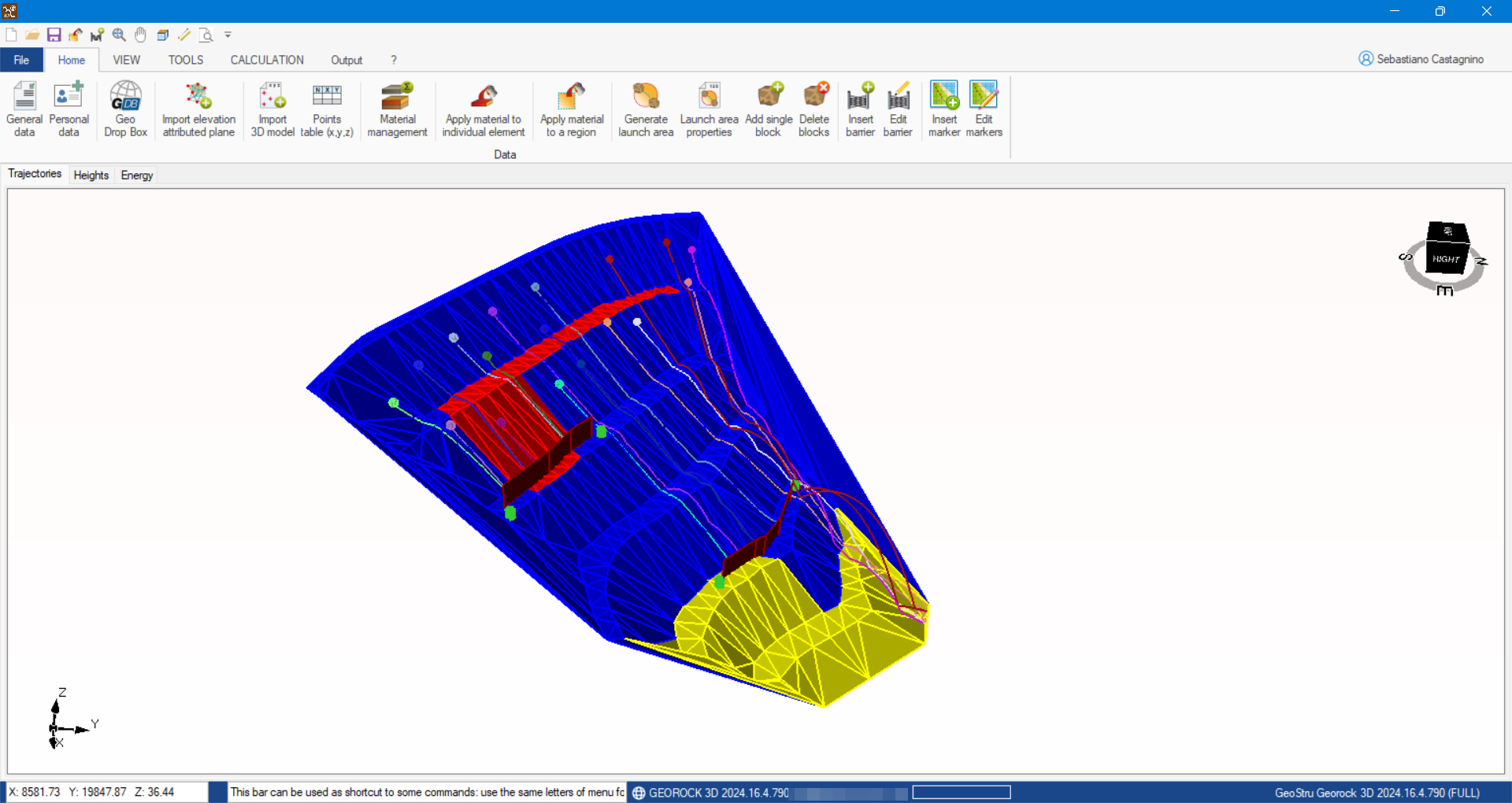
GeoRock 3D is a program for the three-dimensional analysis of rock falls and for designing and optimizing protective works utilizing a sophisticated algorithm for spatial analysis.
SLOPE MODELLING
The slope in question is generated from an XYZ mesh that may be imported from various formats or suitable external software.
The triangulation technique is essential, and it is recommended that Incremental Delaunay or anisotropic triangulation are used.
In this respect, the Geostru software “TriSpace” is eminently suitable.
A tridimensional model can be imported directly from chart work/maps using Geostru Autocad Application (G.A.A.)
TERRAIN PROPERTIES
The slope is discretized in homogeneous zones having similar mechanical characteristics, namely standard and tangential restitution coefficients.
BLOCK CHARACTERISTICS
From a geometrical point of view, the block is characterized by a spherical form rotating around its centre of gravity, while its mechanical characteristics are hardness and mass.
LAUNCH SITES
Launch sites can be indicated directly on the 3D model specifying, for each launch, the launch velocity.
CALCULATION
This provides three-dimensional trajectories, speed and energy.
PROTECTIVE WORKS
Protective works can be inserted directly on the 3D model and their position optimized concerning the displayed trajectories.
BARRIER ARCHIVE
Facilities are provided for an archive of standard barriers that may be utilized directly on the 3D model.
PROTECTIVE WORKS SIZING
Geostru Software provides a BARRIER DESIGN (B.D.) tool for designing and verifying rigid or elastic barriers.
INTERFACES
This software interfaces with Geostru software TriSpace and Georock 2D.
More information about Rock falls 3D - Georock 3D: Rock falls 3D - GeoRock 3D - GeoStru EU
|
© GeoStru