General data menu allows the input of general information for the test:
•Description;
•Customer;
•Site;
•Location;
•Operator;
•Person in charge;
•Date.
By introducing the latitude and longitude or the zone, it will be displayed on the right side of the screen the location of the test on Google Maps. By selecting the image using the “Capture view” button you can customize the graphic representation that will be included in the final report.
In the image it is possible to insert objects: line, rectangle and ellipse customizing the transparency of the shape and the color of lines and background.
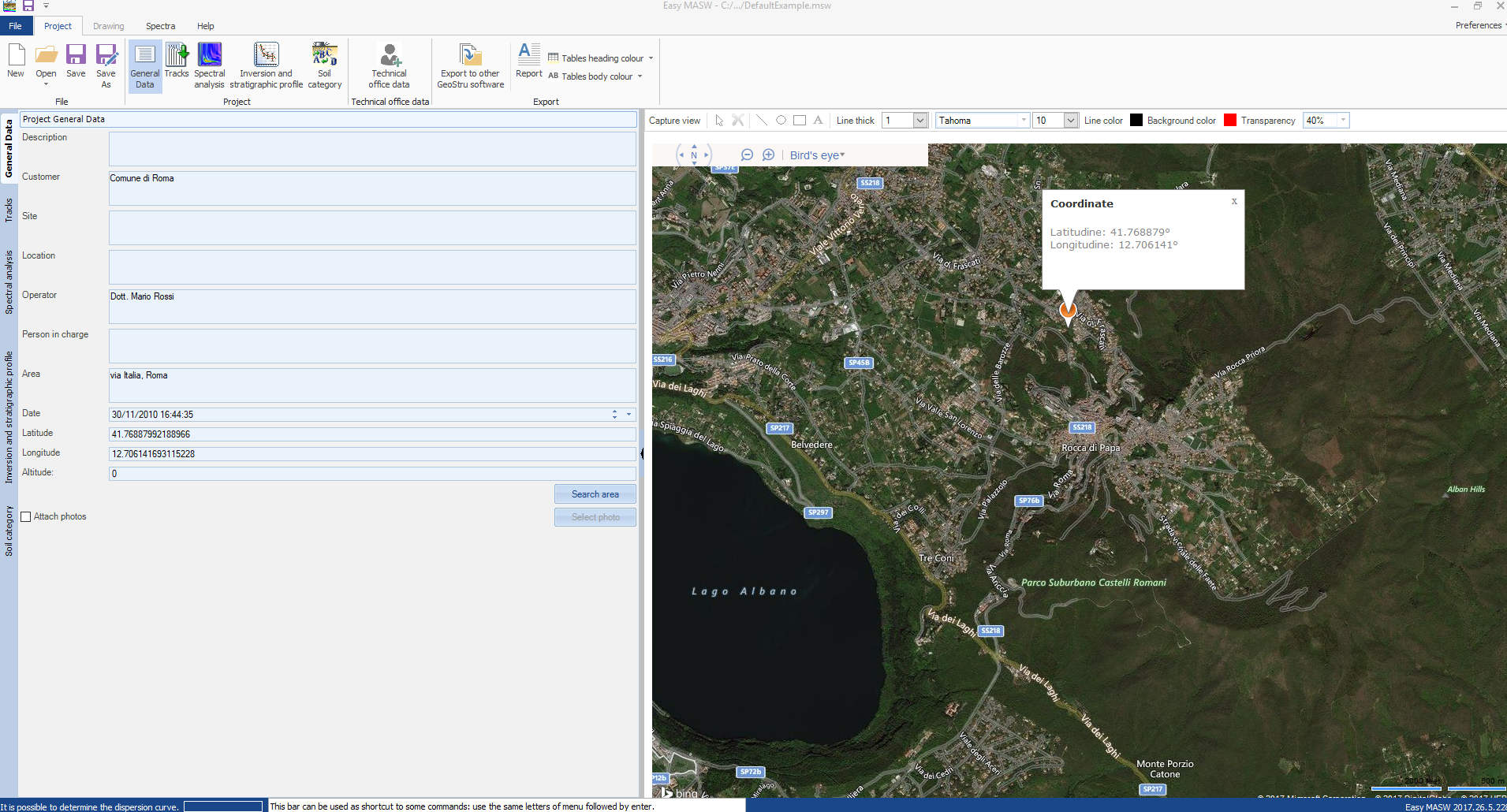
To use this function it is necessary that the computer is connected to the Internet. |
It is possible to attach the photo of the geophones positions that will be included in the final report using the "Attach photo" button and selecting the file containing the picture.
© Geostru