The General data menu allows you to enter general information about a specific survey that is:
•description of the survey;
•customer;
•data of the area;
•place;
•survey operator;
•survey responsible;
•survey date.
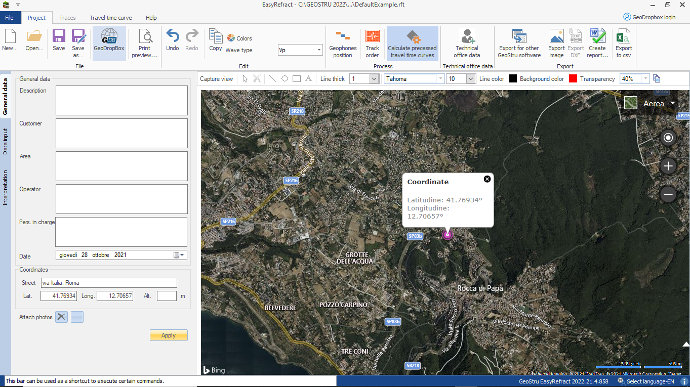
Inputting, then, latitude and longitude or area, you can see, on the right side of the screen, the position of the survey on Google Maps. Selecting the image displayed by using the button "capture view" is given the opportunity to customize the representation which will be reported in the final report.
The image can be edited by inserting objects like line, rectangle, ellipse and text, customizing the transparency of the shape and color of lines and background.
To take advantage of this feature is required that your computer is connected to internet. |
|
© Geostru