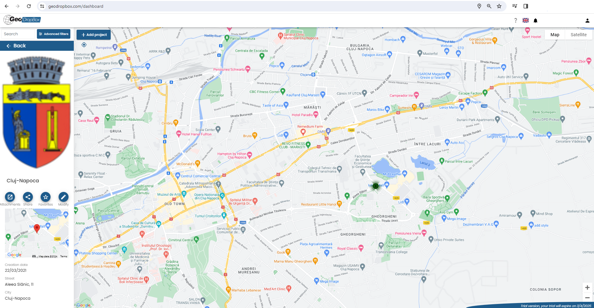
Geodropbox A cloud platform for managing and archiving documentation, which allows geographical information to be merged with any type of document in electronic format. Furthermore, in Geodropbox it will be possible to draw stratigraphic columns, manage static and dynamic penetrometric tests, geophysical tests, wells and laboratory analyses. Visualise and manage IFC BIM files.

GeoDropBox is a GeoStru branded product and is developed by Engsoft Srl
 |
 |
© GeoStru