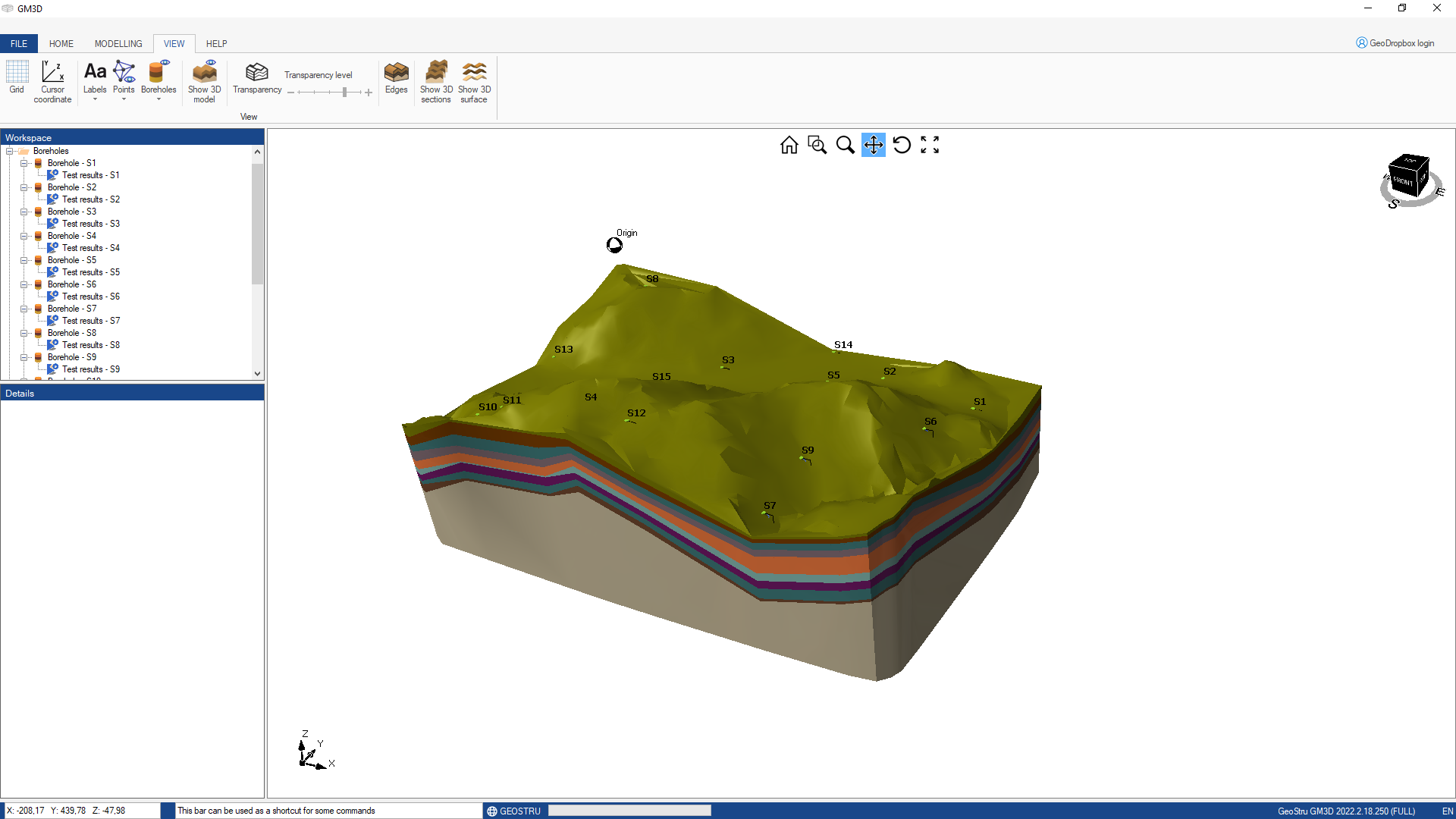
GM3D is a software for BIM geological and geotechnical modelling, which reconstructs a layered tridimensional model of the underground through 3D modelling algorithms.
The surveys can be imported from: TXT, AGS4, EDP
After the elaboration of the 3D model you can create bidimensional sections which can be exported for successive elaborations for different case studies like: stability analysis, rock mechanics, etc.
Video Tutorial:

Tutorial
© GeoStru