HYDROLOGIC RISK
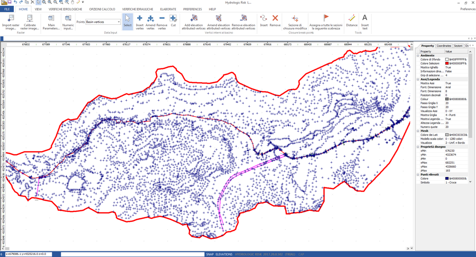
This program proposes the construction of a model of a hydrologic basin and its diverse characteristics, such as to enable the user to evaluate the conditions that may lead to overflow and flooding in the surrounding area. Statistical analysis of rainfall associated with a model of affluence and runoff from the basin are used to determine maximum capacity and probabilities of its being exceeded (Recurrence interval). Affluence runoff model is conditioned by a number of parameters among which are notable: Time of Concentration, Vegetable cover, Permeability, Inclination etc. Flow capacity model also yields height of water in the main fluvial flow and subsidiary reaches for verification. The calculation model for this, in permanent motion state derives these levels on the basis of the sectional geometry and of the constituent materials of the reaches. Taking into consideration the rates of level rise at the break point closures, this analysis represents a valuable tool for flooding risk prediction as it identifies the areas at risk and the lead times involved.
|
|
© 2019 GeoStru Software
